PixElement Desktop: Basic vs Advanced - Which Version is Right for You?
In this article, we will be looking at the two different versions of PixElement desktop available to you. Please see the associated video tutorial below.
Today, we are excited to walk you through the PixElement desktop packages available, designed to bring advanced aerial photogrammetry tools directly to your desktop. After years of working with industry professionals, we have built this powerful software to simplify everything from data processing to analysis - all in one place.
With the desktop standalone version, we wanted to give users full control over their imagery and LiDAR data workflows without needing to rely on cloud processing or an internet connection. Whether you are in the field, at the office, or anywhere in between - as long as you ahve a desktop, you can create deliverables.
Packages:

PixElement Desktop offers two main packages: The Basic and the Advanced package. Let’s look into what each of these offers.
Each package is tailored to meet different professional needs, whether you are handling straightforward projects, or working on complex datasets.
Basic Package

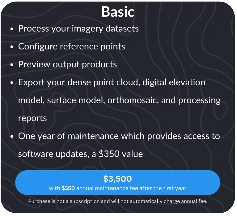
The Basic package is designed for professionals who need a streamlined yet powerful photogrammetry solution. At $3,500, this package equips you with the core tools to efficiently process your imagery datasets and generate high-quality 3D models and maps.
What’s Included in the Basic Package?


✅ Accurate 3D Model & Map Generation – Process your aerial imagery to create detailed and precise reconstructions.
✅ Reference Point Configuration – Ensure the highest level of accuracy by configuring Ground Control Points (GCPs) and Checkpoints.
✅ Output Preview – Review and verify your deliverables before finalizing, giving you confidence in your data.
✅ Comprehensive Export Options – Generate and export industry-standard deliverables, including:Dense point clouds, Digital elevation models (DEMs), Digital surface models (DSMs), Orthomosaics, and the Bundle Adjustment Processing Report.
Additionally, your purchase includes one year of maintenance and software updates—a $350 value, ensuring you always have access to the latest features and improvements.
With the Basic package, you have everything you need to start processing and analyzing your aerial datasets with ease.
Advanced Package

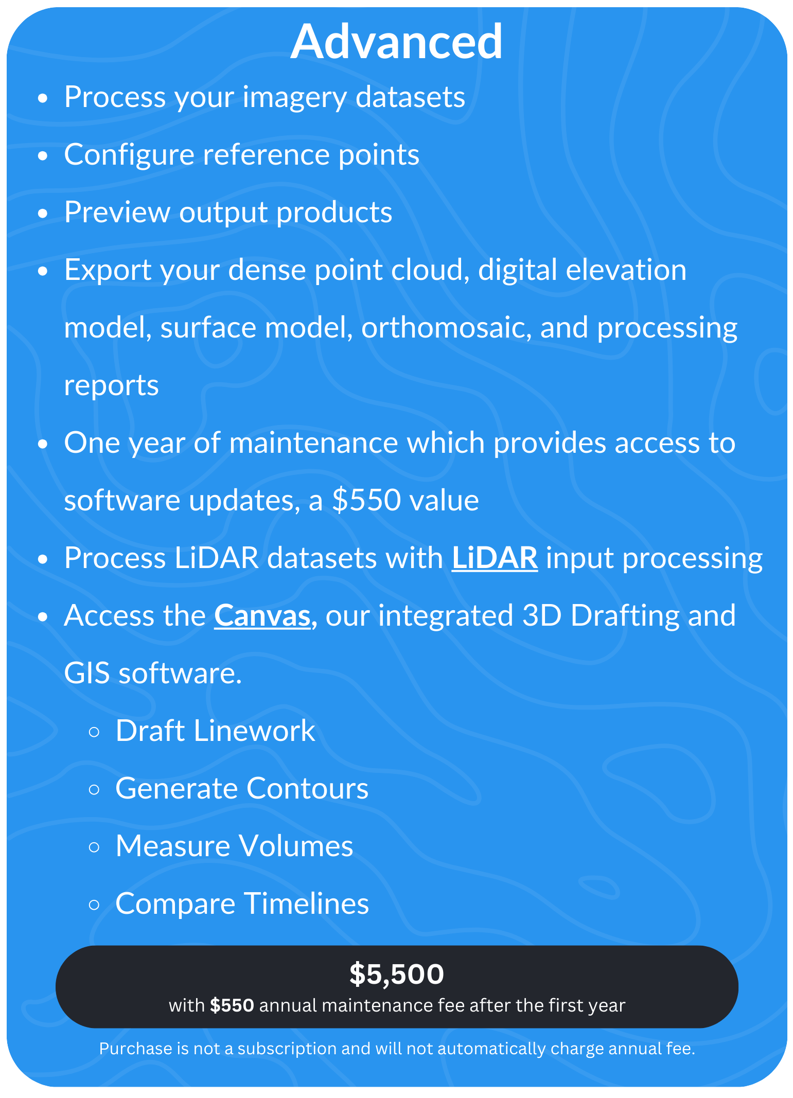
For professionals and teams handling more intricate mapping and modeling needs, the Advanced package provides powerful expanded functionality beyond the Basic package. It is currently available for $5,500, and includes everything in the Basic package plus additional tools designed for higher precision, deeper analysis, and more efficient project management.
What Additional Features Do You Get with the Advanced Package?
With the Advanced package, you unlock a complete toolset for high-precision Imagery only, or LiDAR + Imagery processing, annotation, measurement, analysis, and export. Whether you’re mapping terrain, calculating volumes, or comparing project sites over time, these features provide the accuracy and efficiency you need for surveying, construction, and infrastructure projects.
Both packages come with a one-time purchase cost. There is no subscription, and you will not be automatically charged any annual fees. However, if you would like to continue receiving updates beyond the first year, maintenance is available for $350 or $550 per year, respective of which package you have.
Ready to take your aerial photogrammetry projects to the next level? You can visit our website to start a free 14-day trial on cloud or desktop, or to purchase your PixElement license.
Thanks for tuning in, and happy mapping!


