Using AI in Production Photogrammetry and Geospatial Workflows - ASPRS Summer Technical Meeting
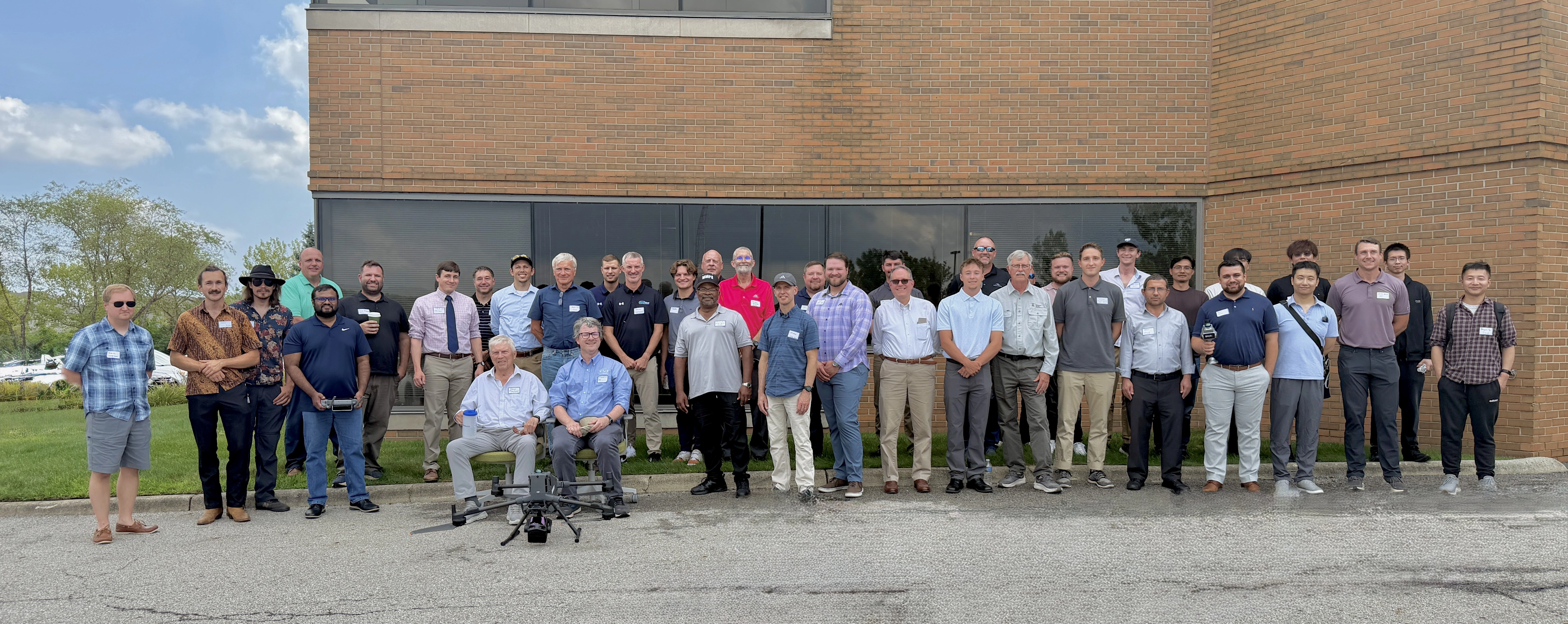
On August 7, 2026, the American Society for Photogrammetry and Remote Sensing (ASPRS) Eastern Great Lakes Region (EGLR) held its Summer Technical Meeting in Columbus, Ohio. The EGLR serves geospatial, remote sensing, and photogrammetry professionals, educators, and students across the region. To learn more about the EGLR or ASPRS, please visit https://community.asprs.org/easterngreatlakes/home or https://www.asprs.org/.
At the event, Ben Vander Jagt, CEO of PixElement, presented “Using AI in Production Photogrammetry and Geospatial Workflows,” exploring how artificial intelligence and computer vision can help solve persistent challenges in production photogrammetry.
Solving Real-World Production Photogrammetry Problems
Producing accurate orthomosaics, True Orthophotos, digital elevation models (DEMs), and 3D point clouds isn’t always as straightforward as processing a set of aerial images. Real-world datasets frequently contain difficult surfaces and geometry that can create errors in the final geospatial products.
One of the central themes of the presentation is simple: a True Ortho is only as good as the underlying 3D data used to create it.
Metallic and homogeneous roofs, for example, can provide too little visual texture for reliable dense image matching. Illumination and reflections can make the problem even more difficult. In urban environments, inaccurate 3D geometry can also produce façade “bleed,” where building façades become incorrectly projected into the orthomosaic.
These problems can often be corrected manually, but doing so across large production datasets requires significant operator time and, in some cases, additional processing of the underlying point cloud and orthophoto tiles.
Using AI to Automate Photogrammetry Correction
PixElement is exploring how modern AI models can automate parts of this correction process.
The presentation demonstrates how several AI-derived products can contribute additional information when conventional photogrammetric reconstruction is incomplete or unreliable:
- Semantic segmentation identifies features such as roofs, façades, trees, vehicles, water, ground, and other objects within imagery.
- Monocular depth estimation provides estimated scene depth where traditional multi-view stereo (MVS) depth information may be missing.
- Surface normals provide information about the orientation of surfaces within the 3D scene.
By combining these capabilities with conventional photogrammetric data, PixElement is working toward automated tools that can identify problematic structures, repair incorrect geometry, improve DEMs, and reduce artifacts in production True Orthophotos.
The presentation includes examples involving difficult white steel roofs and domed metallic aircraft hangars, demonstrating how semantic understanding of a scene can be used to guide automated correction rather than relying exclusively on conventional dense image matching.
Beyond True Orthophotos
These techniques also have applications beyond orthophoto production.
Semantic segmentation can be projected into 3D to help classify point clouds and distinguish terrain from buildings, vegetation, vehicles, and other objects. This creates opportunities for automated bare-earth extraction, DEM refinement, and drainage analysis alongside improved orthophoto production.
The long-term goal is to move traditionally manual photogrammetric editing tasks toward a much simpler workflow: identify the problem, understand the scene, and automatically repair the underlying data.
For those who missed the session, watch the full presentation above to see Ben demonstrate how PixElement is applying AI-assisted depth estimation, semantic segmentation, and 3D scene understanding to automate challenging photogrammetry workflows, from True Orthophoto correction to bare-earth extraction and DEM refinement.