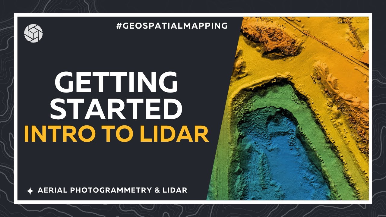
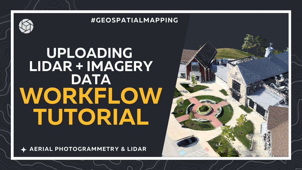
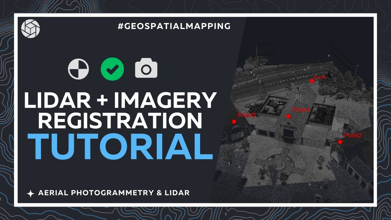
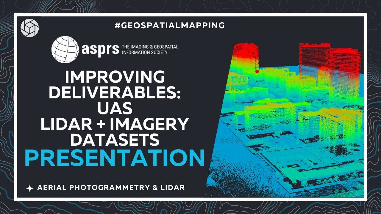
Watch our LiDAR Tutorials and Videos
Learn how to process, classify, and manage combined imagery and LiDAR projects in PixElement.
Try out a 14-day free trial for desktop or cloud.
Learn how to process, classify, and manage combined imagery and LiDAR projects in PixElement.
See how PixElement LiDAR processing can be applied to real-world datasets.
Learn how PixElement's LiDAR processing tools automate powerline and vegetation extraction for safer and more responsive transmission corridor management.
Explore how merging photogrammetry and LiDAR data leads to highly accurate 3D urban environments for superior city planning and infrastructure analysis.
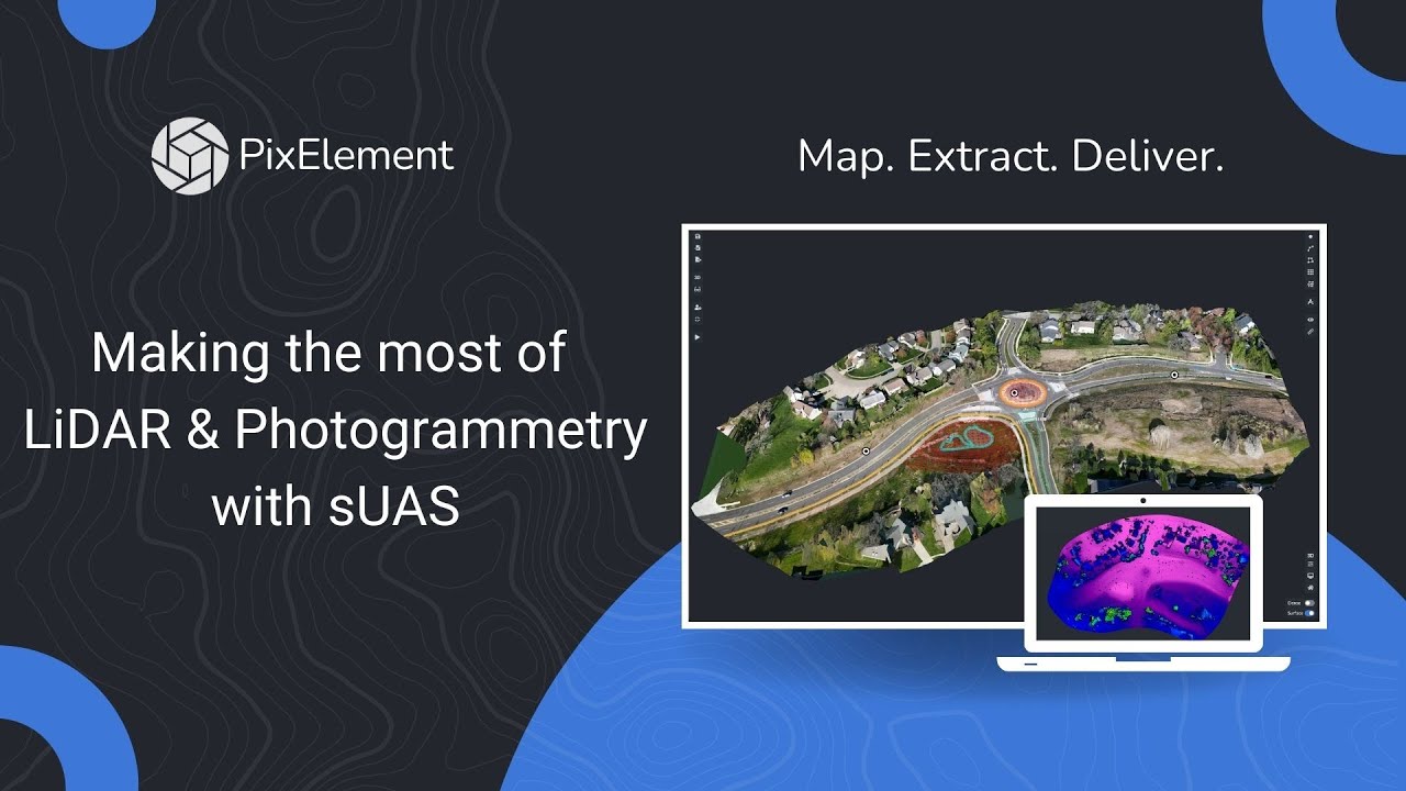
What is PixElement LiDAR + Imagery processing?
PixElement LiDAR + Imagery processing is a workflow for importing, refining, and extracting usable data from LiDAR point clouds and imagery within a single environment. It allows you to merge imagery and LiDAR data together into the same project, producing datasets that combine accurate geometry with visual context for analysis and deliverables.
When should I use Imagery +LiDAR instead of solely imagery-based mapping?
LiDAR is the better choice when you need accurate ground models in vegetated areas, consistent results in low-texture environments, or reliable elevation data without dependence on lighting conditions. Photogrammetry is often more cost-effective for visual detail and colorized outputs, but LiDAR is preferred when accuracy and ground penetration are critical.
What types of LiDAR data formats does PixElement support?
PixElement supports standard LiDAR formats such as LAS and LAZ, making it compatible with most modern LiDAR sensors and workflows.
How accurate is LiDAR data processed in PixElement?
Accuracy depends on the sensor, flight parameters, and control used during data collection. PixElement preserves the integrity of your LiDAR data throughout processing and supports workflows that incorporate GNSS corrections and control points. When collected and processed correctly, LiDAR datasets can achieve survey-grade accuracy suitable for engineering, construction, and mapping applications.
What industries benefit most from LiDAR processing in PixElement?
LiDAR processing in PixElement is widely used across surveying, construction, mining, and defense applications. It is particularly valuable in projects that require accurate terrain models, volumetric analysis, infrastructure maping, or operation in complex environments where imagery alone is not sufficient.
What outputs can I generate from LiDAR data in PixElement?
PixElement enables you to generate a range of outputs from LiDAR data, including classified point clouds, digital terrain models (DTMs), surface models, and measurable datasets for analysis. These outputs support workflows such as site modeling and feature extraction, helping carry data through final deliverables and decision-making.
How does PixElement improve LiDAR processing workflows?
PixElement reduces the need for multiple tools by handling LiDAR processing, classification, and extraction within a single environment. This allows you to move from raw data to deliverables with fewer manual steps, reducing time spent transferring data between different software platforms. The Canvas environment also supports the integration of imagery and LiDAR data, enabling you to create combined datasets that leverage the strengths of both technologies.