Digital Preservation of Cultural Heritage: Aerial Photogrammetry at the Iximché Archaeological Site, Guatemala
The integration of geospatial technology and archaeological research has opened new avenues for documenting, analyzing, and preserving cultural heritage sites across the globe. In this PixStory, we present a dataset collected by Aerial Image Solutions, LLC over the ancient Mayan archaeological site of Iximché in the western highlands of Guatemala. This site is an important Postclassic highland capital of the Kaqchikel Maya and the initial seat of Spanish colonial power in the region. This project underscores how modern photogrammetric workflows can support heritage conservation, landscape archaeology, and spatial analysis.
Data Acquisition and Processing
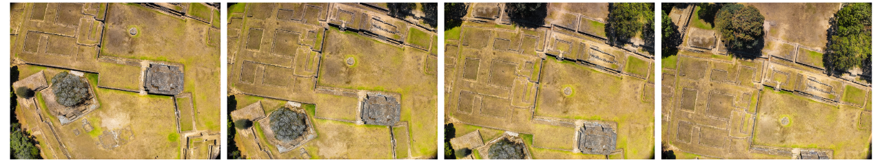

Orthoimage vs DEM - Drag the Slider to Compare
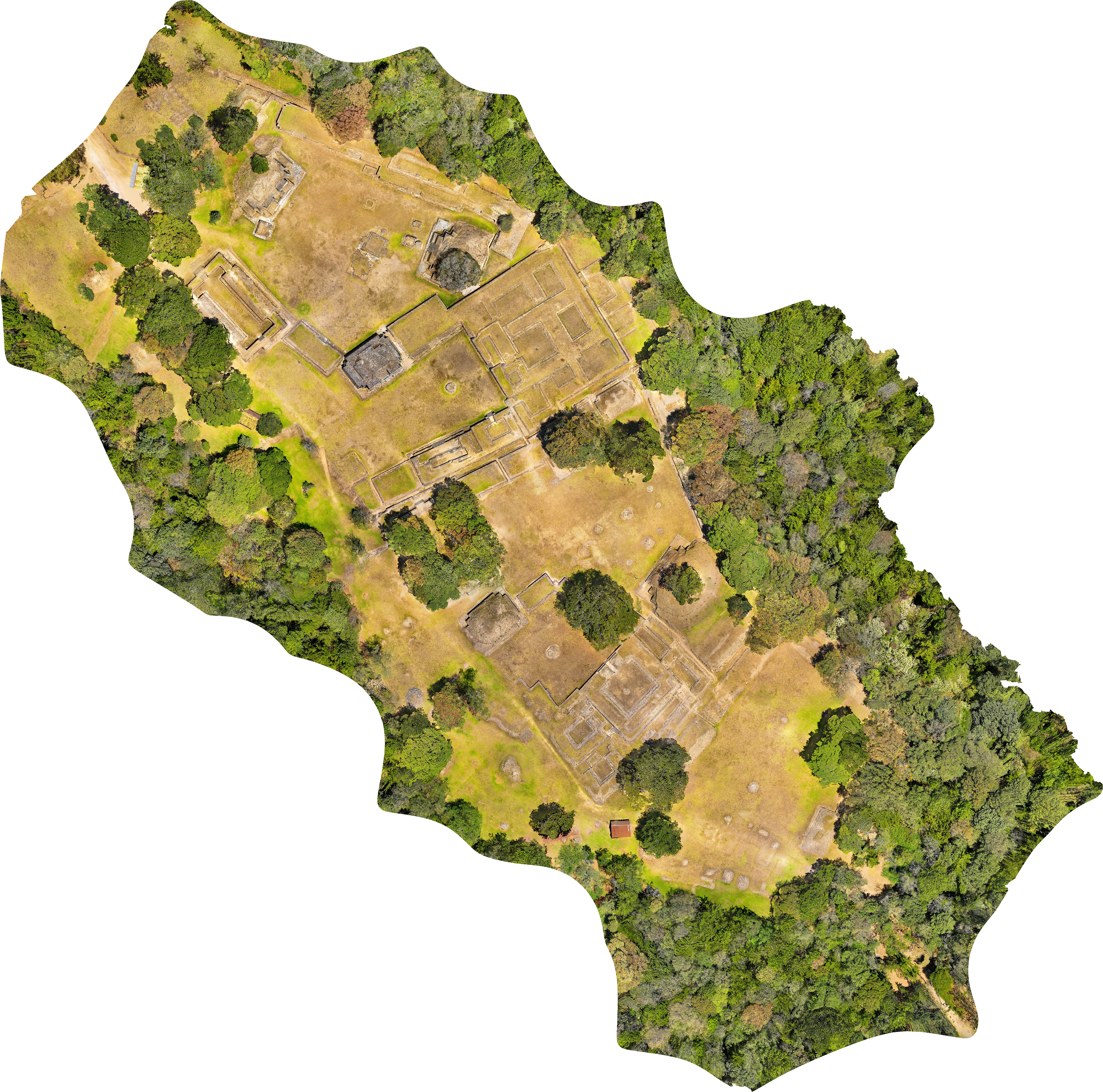
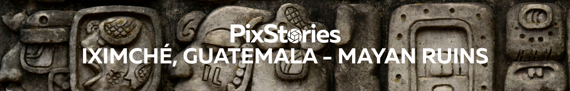
The dataset was acquired using low-altitude UAS imagery over the site. The project demonstrates how aerial photogrammetry, when paired with advanced processing algorithms, can produce research-grade digital models capable of supporting multidisciplinary investigations.
Historical Context
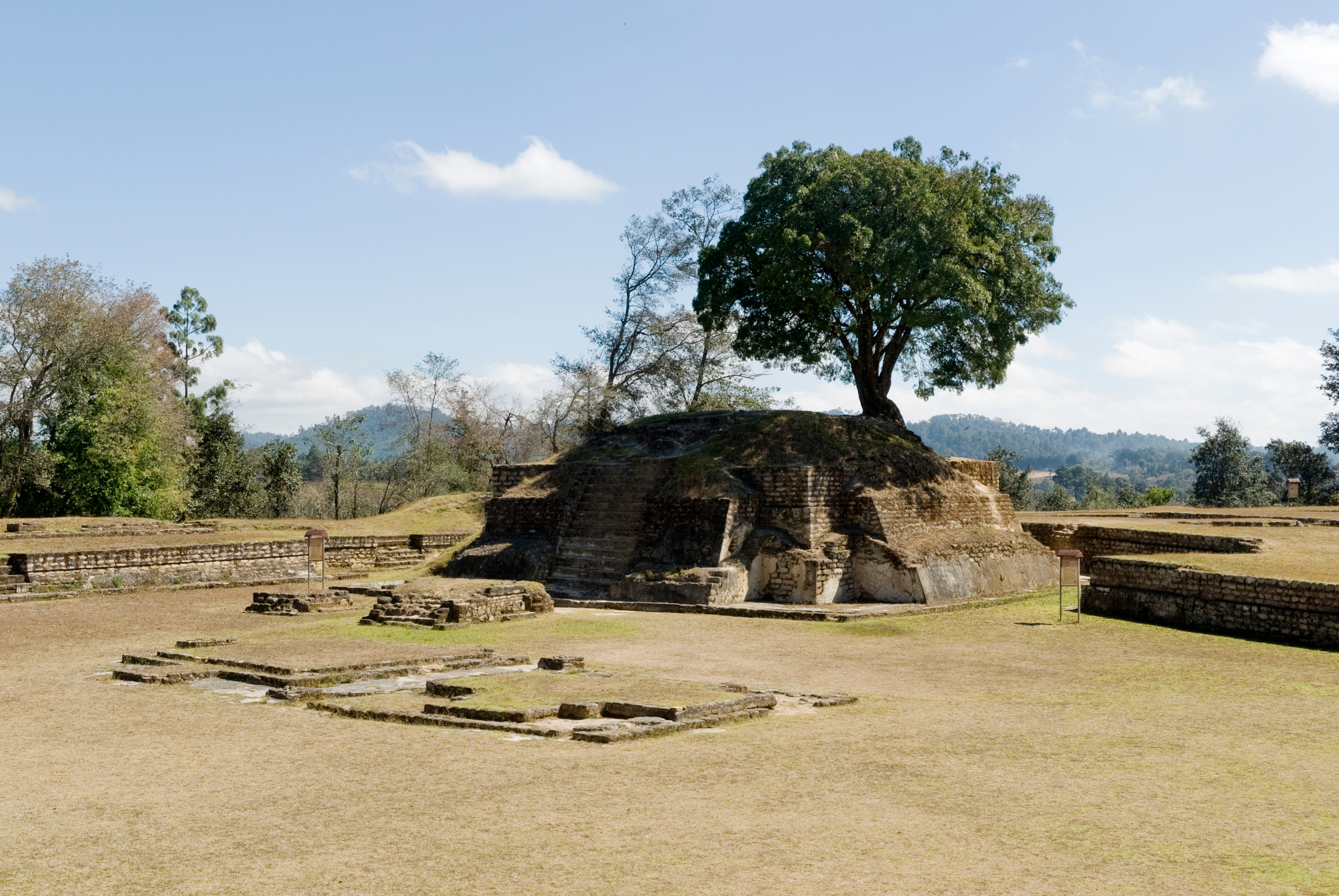
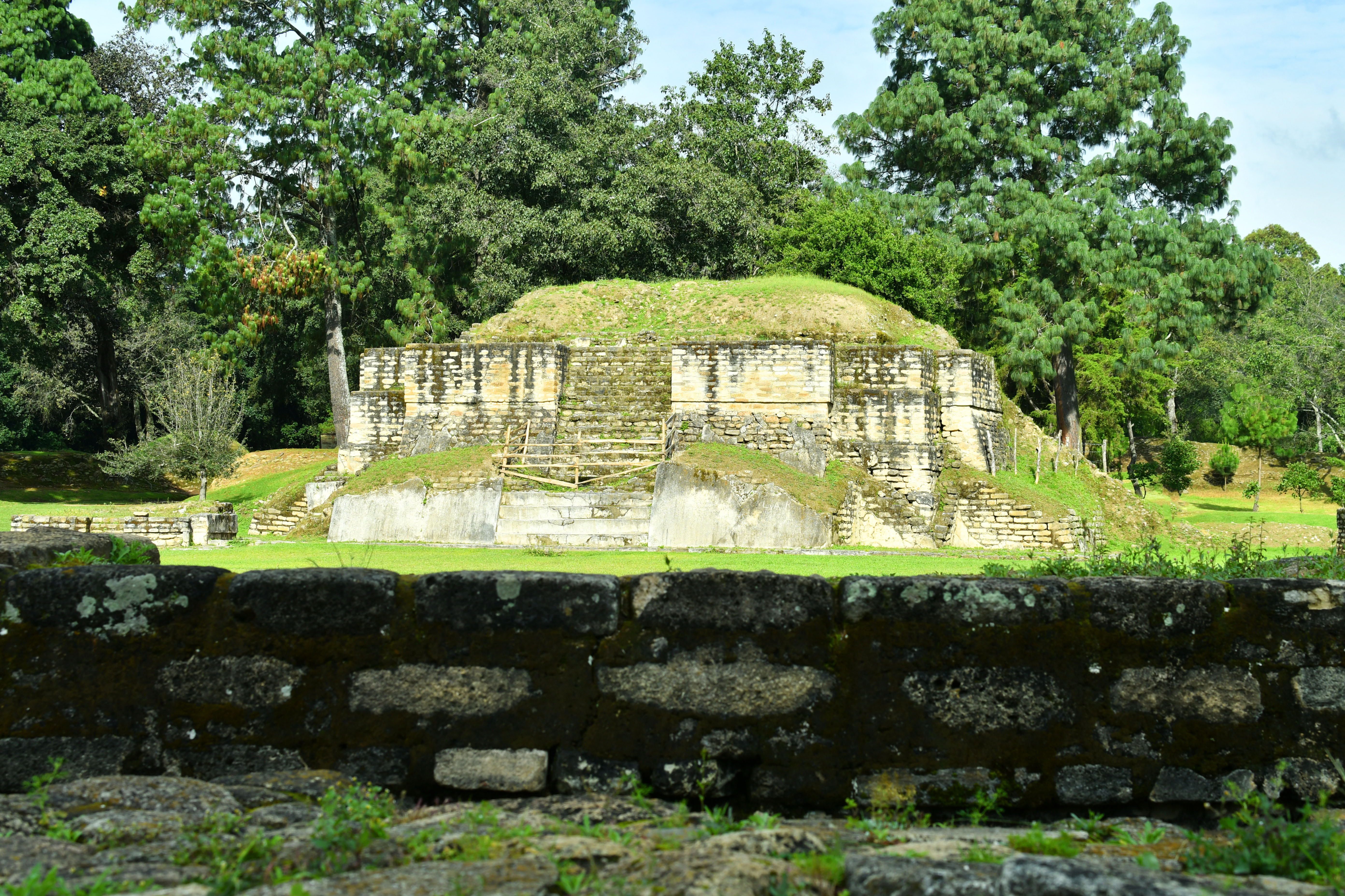
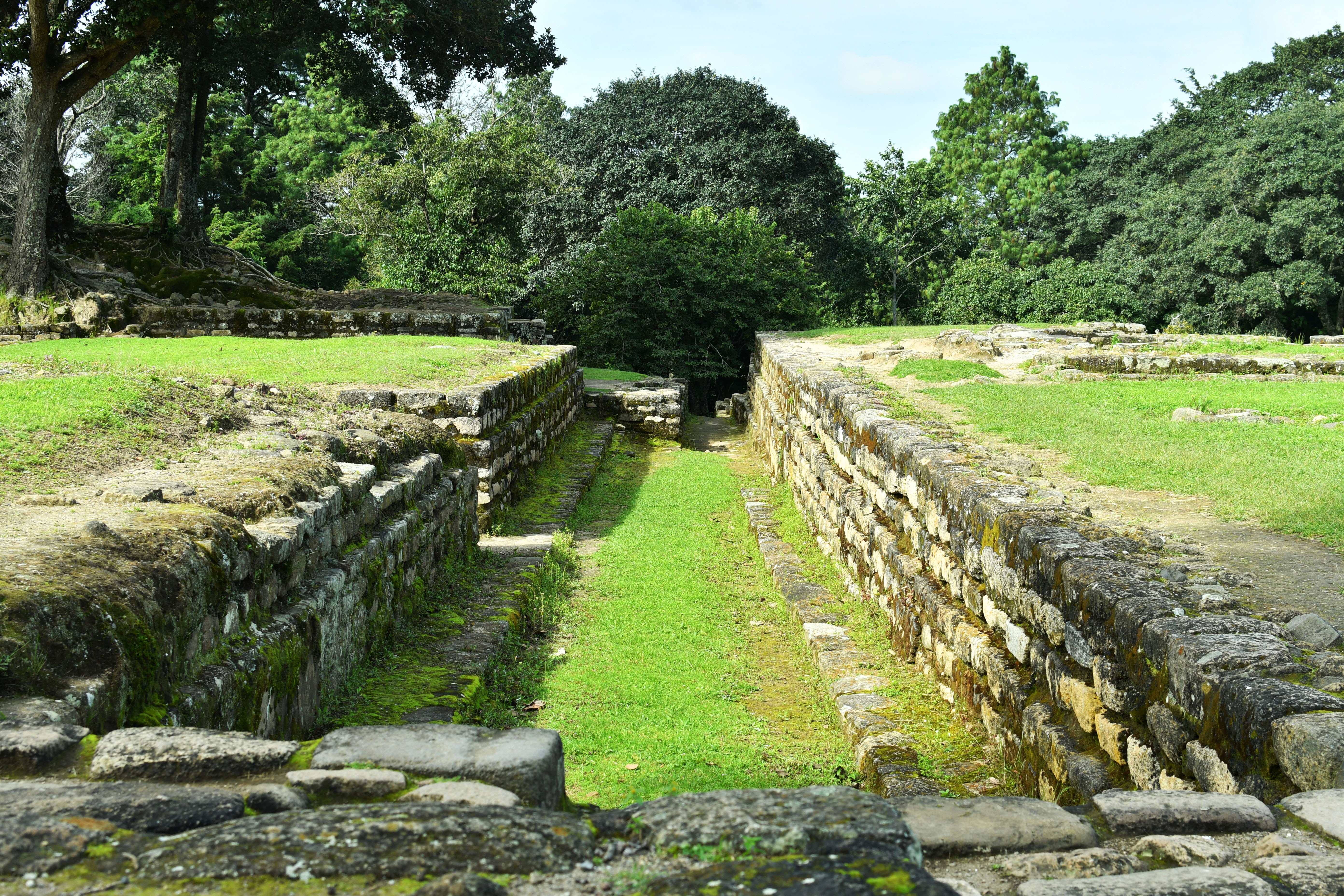
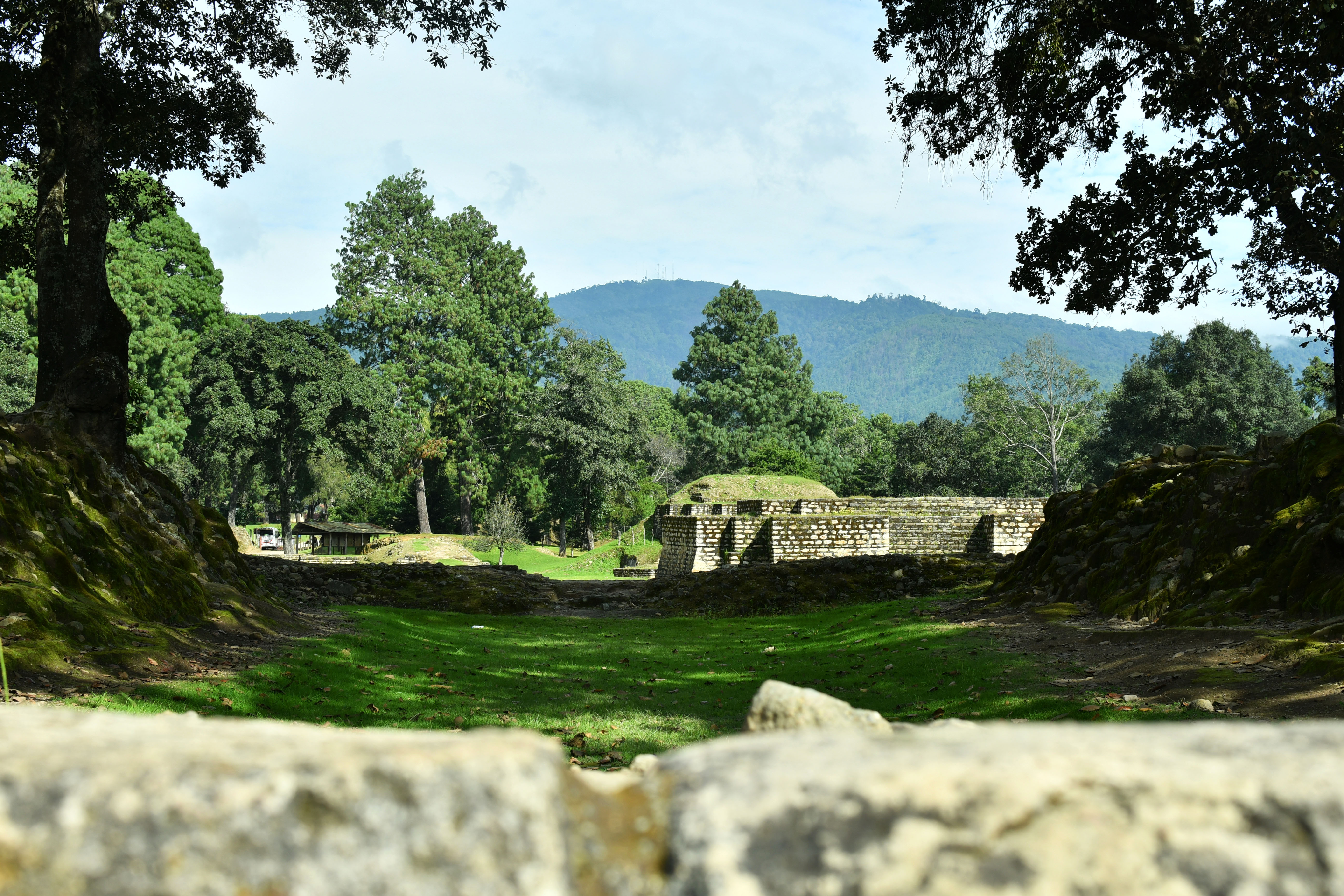
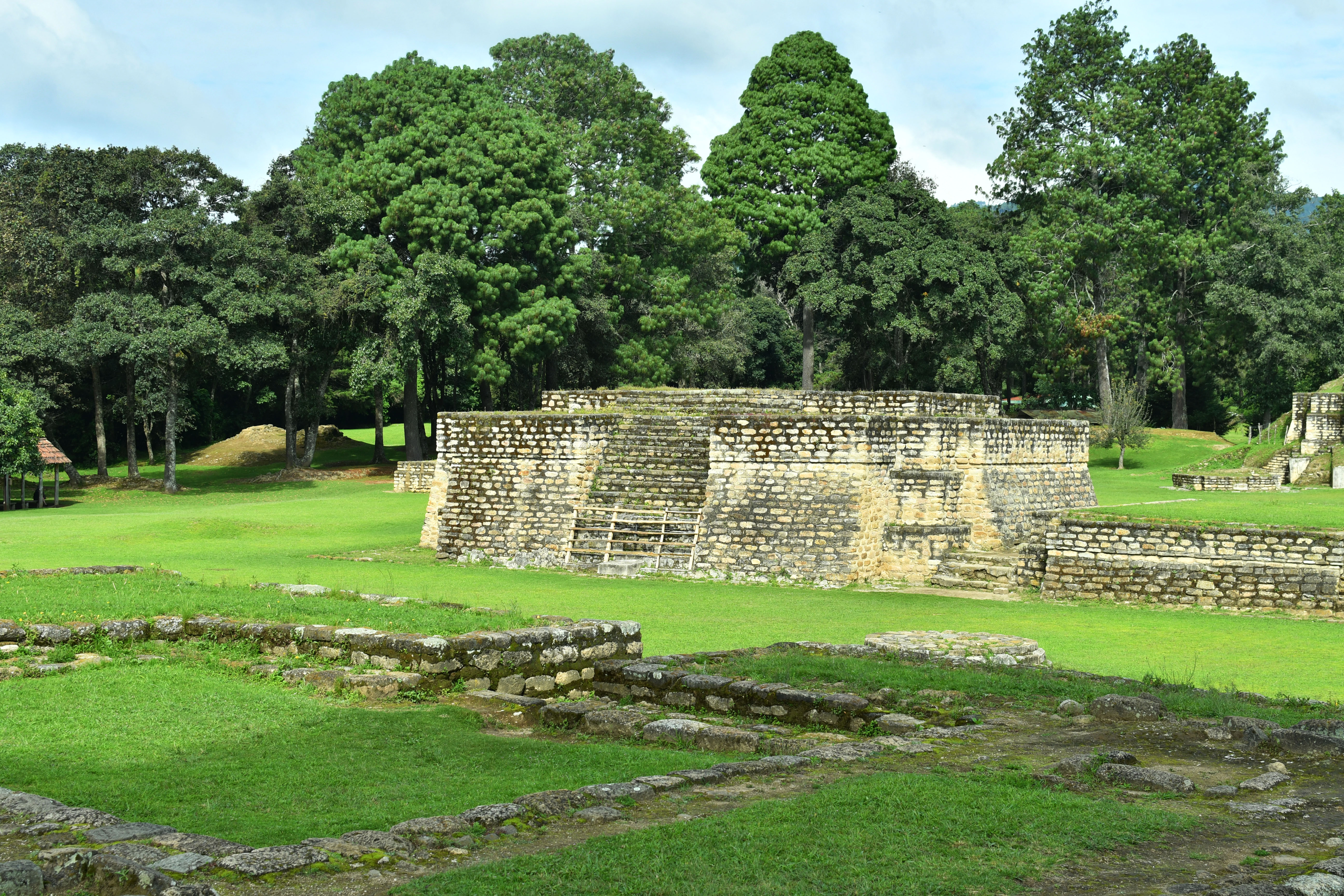
Established circa 1470 AD, Iximché emerged as the capital of the Kaqchikel Maya in the Central Guatemalan Highlands, strategically positioned atop a modified plateau encircled by deep ravines at an elevation of approximately 2,277 meters (7,472 feet). The site contains numerous architectural features that reflect its political and ceremonial significance: stone temples, altars, ballcourts, residential platforms, and plazas arranged in a quadripartite layout common in highland Maya urbanism.
While the monumental architecture and political significance of Iximché flourished in the Late Postclassic period, ceramic evidence suggests human occupation at the site dating back to the Late Preclassic era (ca. 300 BCE–250 CE). However, the city as it stands in the archaeological record today rose rapidly and briefly to prominence in the decades leading up to the Spanish invasion of the Guatemalan Highlands.
Originally allied with and subordinate to the K’iche’, the Kaqchikel broke away after internal disputes and founded Iximché as their capital around 1470 CE. Strategically positioned on a defensible plateau, Iximché became a powerful regional center ruled by four major clans. Two dominant lineages, the Sotz’il and the Xahil, provided co-rulers, notably Hun-Toh of the Sotz’il and Wuqu Batz’ of the Xahil. The other two administrative clans were the K’alel Achi and the Ahuchan. This quadripartite governance structure reflected a broader Maya tradition of elite shared rule.
However, like many Mesoamerican societies in the 15th and early 16th centuries, the Kaqchikel were embroiled in frequent inter-clan warfare and conflict with external rivals, particularly the K’iche’. When the Spanish arrived in 1524, the Kaqchikel initially allied with them to gain military advantage. This alliance quickly collapsed, and after rising in resistance, the Kaqchikel were met with brutal retaliation. Iximche was abandoned in 1525 and destroyed by the Spanish the following year, bringing an abrupt end to its role as a capital.
Preserving Iximché Today
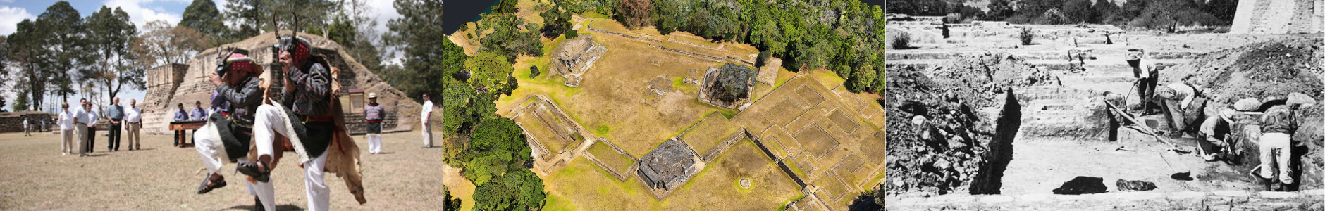
Today, the ruins of Iximché are recognized as a National Monument and a place of both historical memory and ongoing spiritual significance for indigenous Maya communities, including shamans and aj q’ijab (daykeepers). The site continues to host ceremonies tied to the 260-day ritual calendar, reinforcing Iximché’s role as a living spiritual and cultural landscape.
Archaeological excavations at Iximché have revealed a well-organized ceremonial center, with temple-pyramids, altars, residential platforms, and ballcourts laid out in a quadripartite pattern that reflected highland Maya sociopolitical structures. Burial contexts discovered at the site include elite individuals interred with obsidian blades, ceramics, and offerings, suggesting strong ritual traditions and status-based cosmology. Notably, evidence of human sacrifice has also been uncovered, including decapitated remains and cut-marked bones likely associated with ceremonial practices or wartime captives. These findings affirm the site’s role not only as a political capital but as a sacred space of ancestral veneration, cosmological ritual, and territorial power.
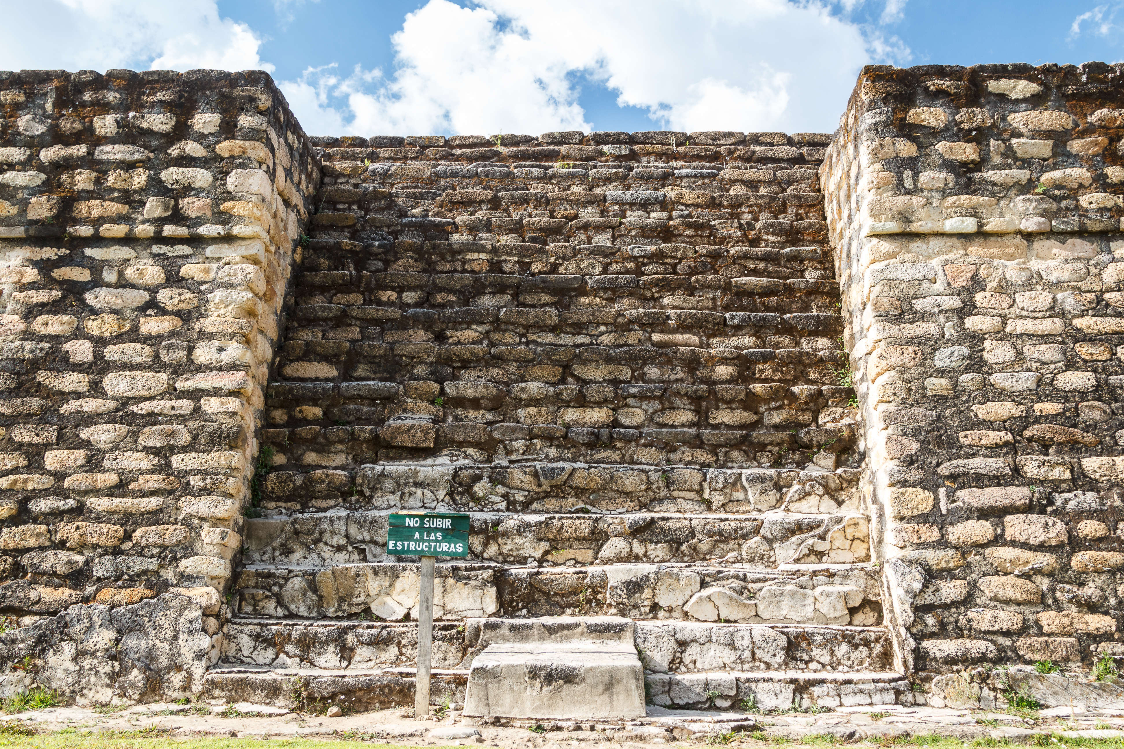
Like many archaeological sites, Iximché faces ongoing threats from erosion, vegetation overgrowth, tourism, and shifting environmental conditions—all of which are exacerbated by climate change. Intensifying rainfall, expanding vegetation cycles, regional earthquakes, and unstable slopes along ravines have placed additional stress on ancient structures, accelerating both surface erosion and structural degradation. At the same time, rising tourism presents both opportunities and conservation challenges, including footpath erosion, unauthorized access, and accidental damage.
High-resolution geospatial documentation offers a non-invasive means of monitoring and preserving these landscapes. Digital preservation through aerial photogrammetry helps mitigate these impacts by reducing the need for intrusive surveys and creating enduring records that support long-term site management, structural monitoring, and comparative analysis.

Documentation & Preservation
High-accuracy spatial data provide a durable digital record for conservation, structural monitoring, and public heritage archives.

Spatial Analysis
Analyze architectural alignments, visibility corridors, and site evolution using GIS techniques.

Community Engagement & Education
Digital reconstructions support outreach, museum exhibitions, and collaboration with descendant communities.

Comparative Studies
Use the dataset in broader frameworks to study urban form, defense, and ceremonial patterns in the Maya highlands.
Explore the Dataset:
Preserving the Past Through Precision
This project demonstrates how photogrammetry is not merely a visualization tool, but a scientific method for producing measurable, reproducible, and georeferenced data in archaeological contexts. At sites like Iximché — where history, memory, and material heritage intersect — the ability to capture and share spatial information in 3D is vital to ongoing stewardship.
PixElement remains committed to supporting researchers, cultural institutions, and heritage professionals in their efforts to digitally preserve the past and foster a more informed future.
References:
Carey, David, and Ronald Nance. Archaeology and Ethnohistory of Iximché. ResearchGate, 2003, researchgate.net .
Cojti Ren, Irma. Pre-Iximche' Kaqchikel History. ResearchGate, 2021, researchgate.net .
Haviland, William A., and Georges F. Guillemín. “The Ancient Cakchiquel Capital of Iximché.” Expedition, vol. 9, no. 1, 1967, pp. 24–30. Penn Museum.
Metcalfe, Jessica Z. “Multiple Histories: The Archaeology, Ethnohistory, Oral History, and National History of Iximche’, Guatemala.” UWO Journal of Anthropology, vol. 31, no. 1, 2023, uwo.ca .
**Images sourced from Adobe Stock.